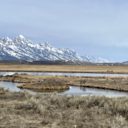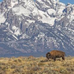
Evaluating Mesic Restoration Efforts in Montana with Geospatial Tools
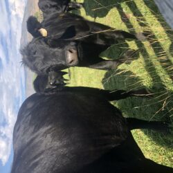
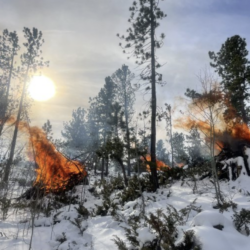
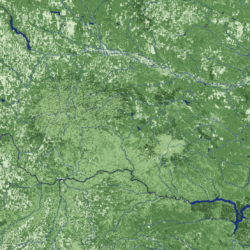
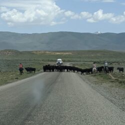
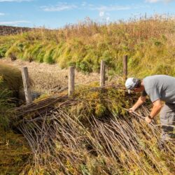
In conjunction with The Nature Conservancy-Montana (TNC), Montana Conservation Corps (MCC), and World Wildlife Fund (WWF), our team created a protocol to evaluate the impacts of low-tech structures, sometimes referred to as beaver dam analogs, that have been installed in central Montana. This protocol leveraged GIS and remote sensing technologies and challenging our team to Read more about Evaluating Mesic Restoration Efforts in Montana with Geospatial Tools[…]